For the 2026 tax year, Polk County FL property and zoning maps offer essential digital data via the Property Appraiser (PCPA) and Develop Polk Viewer. Residents can access GIS parcel maps and the Prosper 2050 Plan to navigate land-use regulations. For specific zoning designations or building permits, the Planner-on-Call service is available at (863) 534-6084, providing expert guidance on the current Land Development Code (LDC).
Free Polk County GIS Map Downloads
Access official Polk County GIS maps for parcels, zoning, aerial imagery, and districts completely free. Use these tools to verify property boundaries, check zoning, and plan projects with accurate, up-to-date information.
City and Property Maps
City and Property Maps help users understand parcel locations, property boundaries, and zoning areas across Polk County, Florida. These maps are available through the official GIS tools provided by the Polk County Property Appraiser.
1. City Boundary Maps
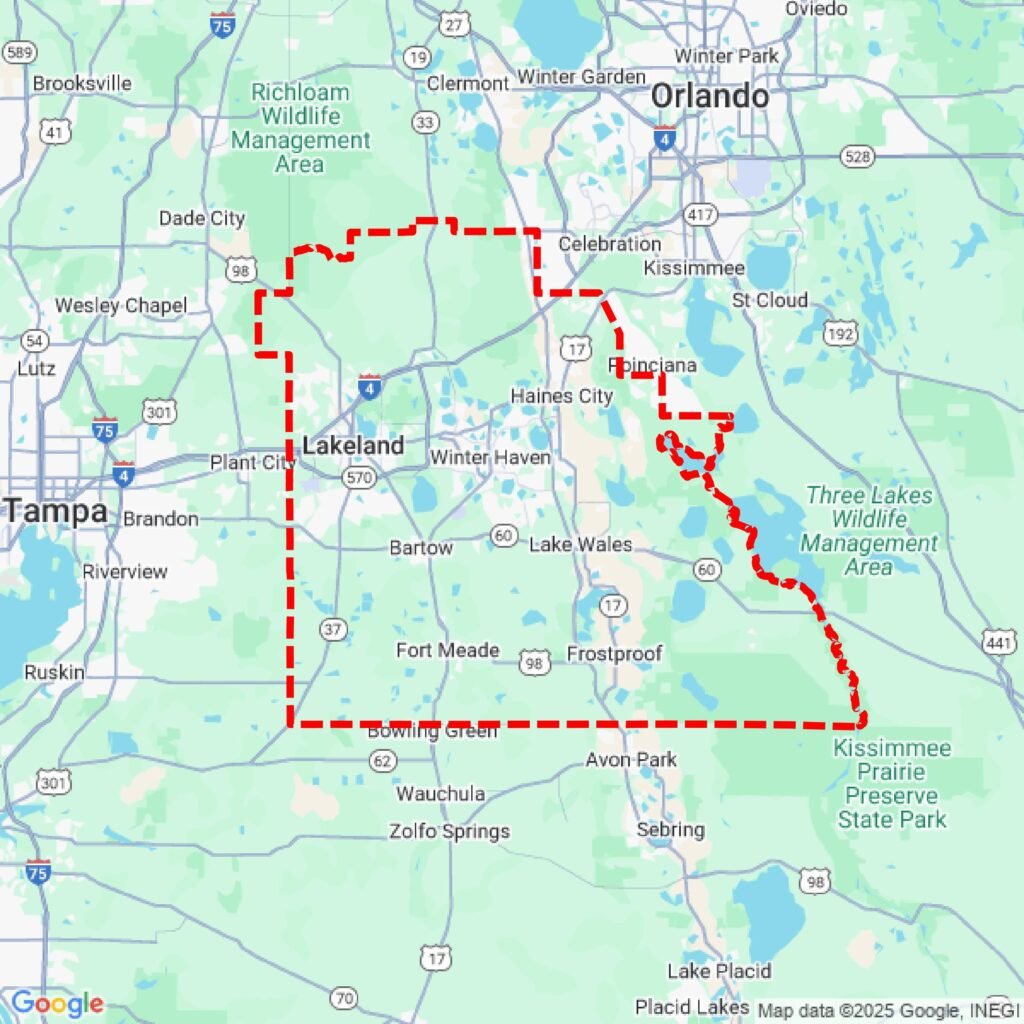
City boundary maps show the official limits of cities like Lakeland, Florida, Winter Haven, Florida, and Bartow, Florida, helping users identify which city a property belongs to.
2. Parcel Property Maps
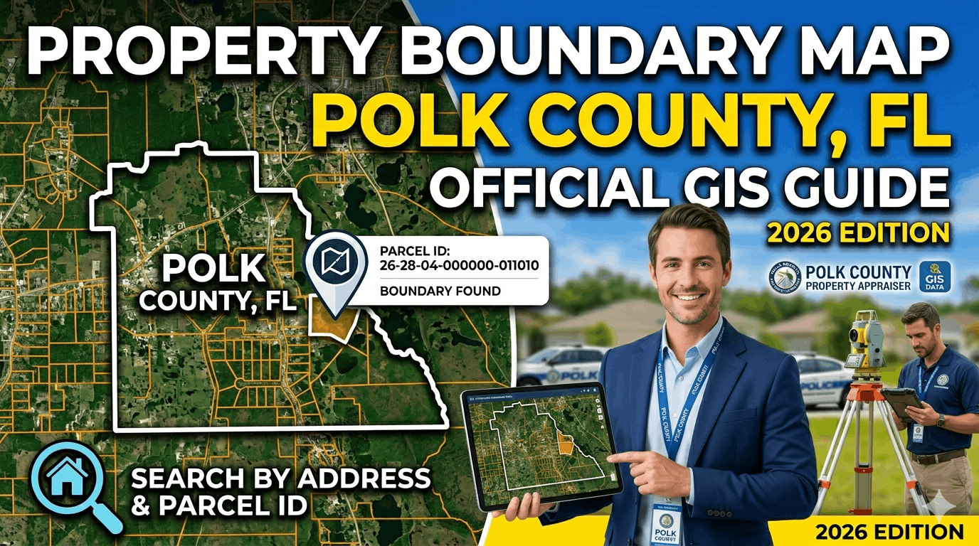
Parcel maps display individual property boundaries, parcel numbers, and ownership information. Users can search by address, owner name, or parcel ID.
3. Zoning and Land Use Maps
Zoning maps show how land is classified for residential, commercial, or agricultural use. These maps help property owners understand land-use regulations.
4. Interactive GIS Maps
Interactive GIS maps allow users to zoom, search parcels, and view layers like roads, flood zones, and tax districts within the county.
Property Map Types and Pricing
Note: High-gloss or other specialty paper incurs extra charges. Prepayment is required for printed maps.
Ordering Printed Maps
Residents and researchers can order printed property and section maps directly from the Polk County Property Appraiser GIS department. These printed maps are useful for property research, planning, and official documentation.
How to Order Printed Maps
- Contact the GIS Department
Call the Property Appraiser’s office to request a printed map and provide the parcel number or area details. - Place an Order at the Office
Orders can also be submitted in person at the county office service counters. - Map Preparation Time
Most printed maps are prepared within 2–5 business days depending on the size and customization of the request. - Pick-Up Location
Maps are typically produced at the county office in Bartow, Florida and then sent to the selected branch office for pickup. - Payment for Printed Maps
Fees depend on the map size, aerial overlays, and customization options. Exact payment may be required when collecting the map.
Note: Printed maps provided by the county are for illustrative purposes only and are not official land surveys.
District & Foreclosure Maps
District and foreclosure maps help users identify tax districts, commission areas, and properties involved in tax deed or foreclosure cases within Polk County, Florida.
Land Survey Resources
Land survey resources in Polk County, Florida provide property boundaries, legal descriptions, and planning information.
1. Official Survey Records
Maintained by the Polk County Clerk of the Circuit Court for legal and development purposes.
2. Plat Maps
Show subdivision layouts, lot boundaries, streets, and easements.
3. Surveyor Services
Licensed surveyors provide boundary verification and construction surveys.
4. GIS Integration
Parcel and boundary data is accessible via the Polk County Property Appraiser GIS system.
Database & Custom Extracts
Polk County offers GIS and geospatial data extracts for detailed analysis:
Plotting Fees
Printing maps in different formats has set rates:
Conclusion
Polk County provides a variety of property, district, and survey maps for residents, investors, and researchers. Official sources like the Property Appraiser and Clerk of the Circuit Court ensure accurate, up-to-date information.
FAQs
How can I access Polk County property maps online?
You can view parcel, zoning, and GIS maps for free through the Polk County Property Appraiser website.
Where can I order printed maps?
Printed property, section, and survey maps can be ordered from the Property Appraiser’s GIS Department or at the county office in Bartow, Florida.
What are the fees for printed or custom maps?
Fees depend on map type, size, and format. Standard parcel maps are low-cost, while large or photo-overlay maps have higher fees.
Can I get historical or foreclosure maps?
Yes. Polk County provides current and previous foreclosure maps as well as tax district and commission district maps for research and investment purposes.
Where can I find land survey resources?
Official surveys, plat maps, and GIS-integrated parcel data are available via the Clerk of the Circuit Court and Property Appraiser GIS system.
Are GIS data and databases available for download?
Yes. Digital ortho-imagery, parcel extracts, and street centerline files can be purchased or accessed online, depending on the data type and license agreement.
Can I use these maps for legal purposes?
Printed and online maps are for reference purposes; official land surveys or certified documents are required for legal matters.